Confession: I never had much patience for depression suffers. Despite my father being a functioning manic depressive OCD alcoholic (no offence Dad), or maybe because of this, I always had a “pull your socks up” attitude towards it. I mean, I’d had blue days, who hadn’t? And some pretty dark grey to black days as a teenager as well that I’d prefer to forget about, and quite a few wobbles in my twenties and even in my thirties, but I’d always thought of such episodes as evidence of a character flaw, an intolerable admission of weakness to be swept away under the rug of British phlegm and pragmatism.
It follows that, having spent the first year of my forties dealing with an absolute shitstack bout of depression, I am considerably more tolerant (I hope). However, that’s not what I particularly want to write about today; rather, I want to talk about the wonderful moment when the fog recedes, the night ends, the black dog recedes into his box of bonios and you suddenly think, for the first time in months and months: I feel normal; no, actually, I feel good.
I think I have been building up to this over the last few weeks, thanks to a change of anti-depressants and an excellent counsellor (maybe also return of Game of Thrones on a Monday evening?) but I really do suddenly feel OK. It’s a really good feeling and I don’t give two fucks if it’s chemically induced or not, it’s just good to find pleasure in being alive again.
I wanted to say something articulate about equating the feeling to the first feeling of spring in the air after a long winter, and quote a poem that’s on the tip of my tongue about March winds being the morning yawn but I’ll be frank, I had a really strong campari & soda earlier and eloquence eludes me. So I’ll like to return instead to the subject of this blog post which is, you’ll be relieved to hear, nothing to do with parts one or two of the vampire-related cinematic monstrosity of the same name, but about a very pleasant walk I had up to the local trig point on Lantern Pike early this morning.
I presume Lantern Pike must have once served as a beacon in pre-Whatsapp times, which provides a pleasing symmetry on a personal note, since as a child I was often dragged kicking and screaming up the local hill, Beacon Fell, for fitness and fun on a Sunday afternoon. My seven year old self would therefore have been horrified at the prospect of my forty year old self waking up at 5am on a Saturday morning and deciding to voluntarily tackle gravity (actually to be frank my forty year old self would normally feel a fairly strong aversion to both the hour and the exertion) but that’s what happened and it was great.
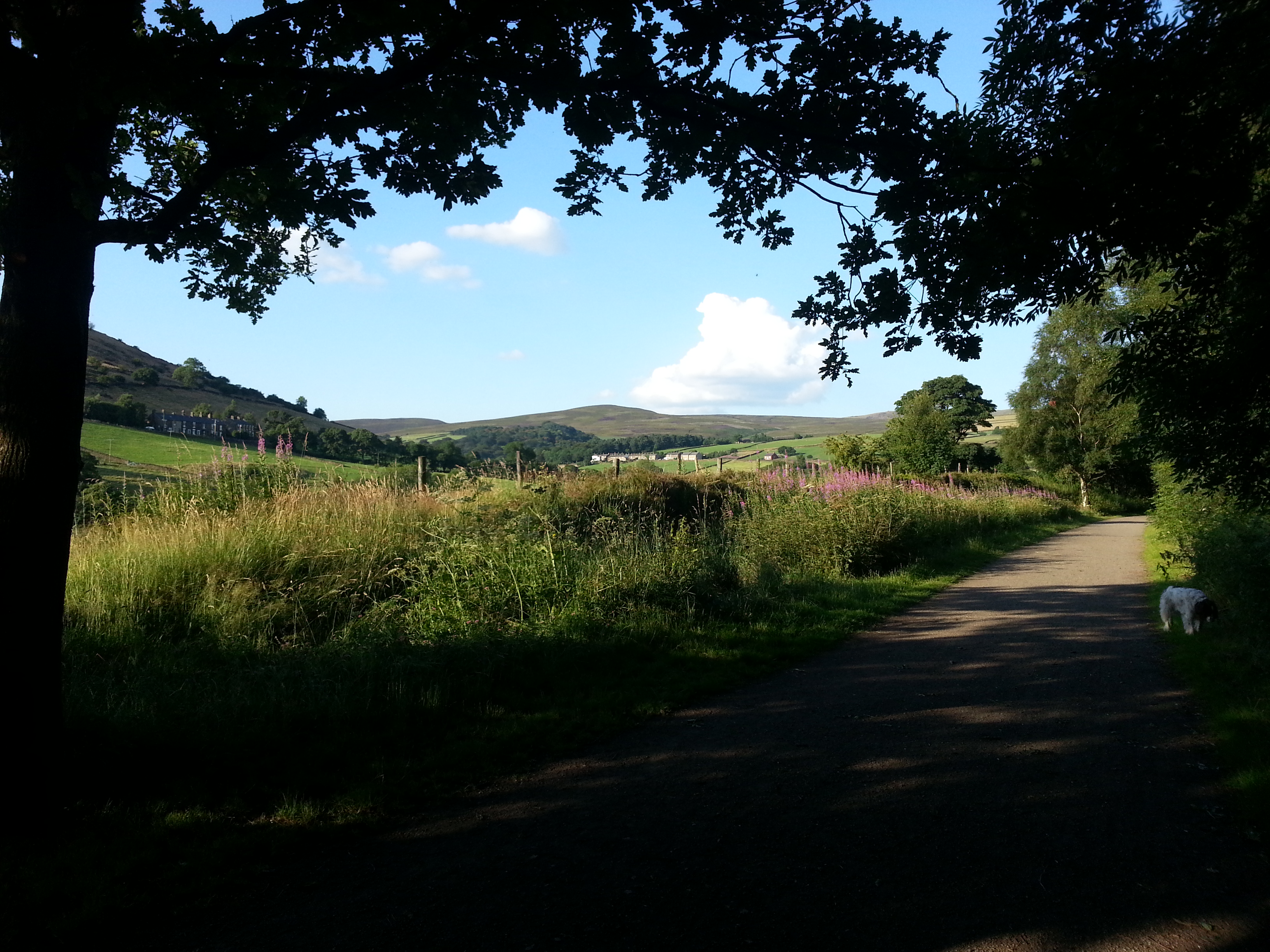
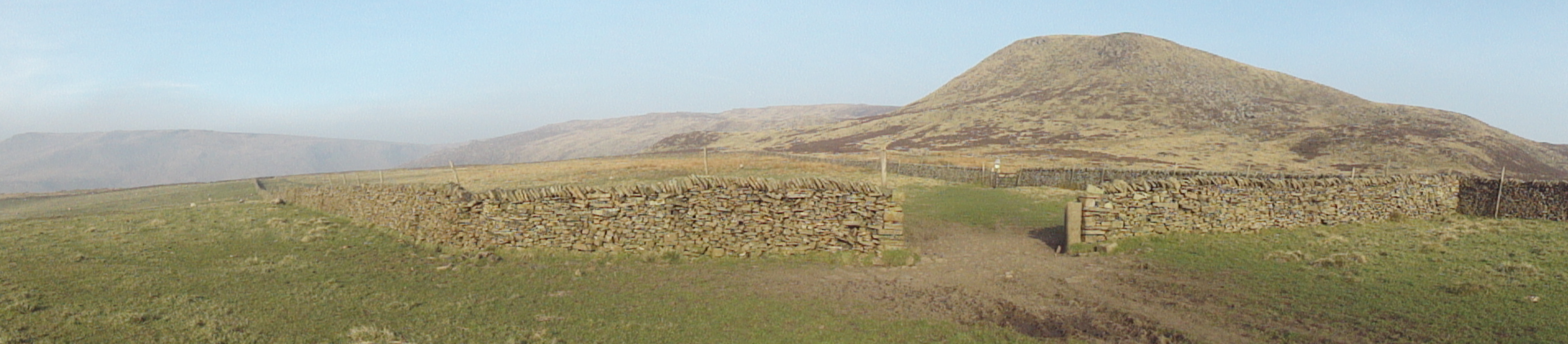
I’m really unfit, so it took me about ninety minutes, but it’s a pretty easy walk. I went up Swallow House lane and took the track at Higginbottom farm and then the short steepish path up to the trig point, back down the other side and then retraced my steps. You can combine this with the Sett Valley trail by cutting through back down to the reservoir, or with a longer gentler return via Little Hayfield and either the higher path through the woods, or the lower path through the fields.
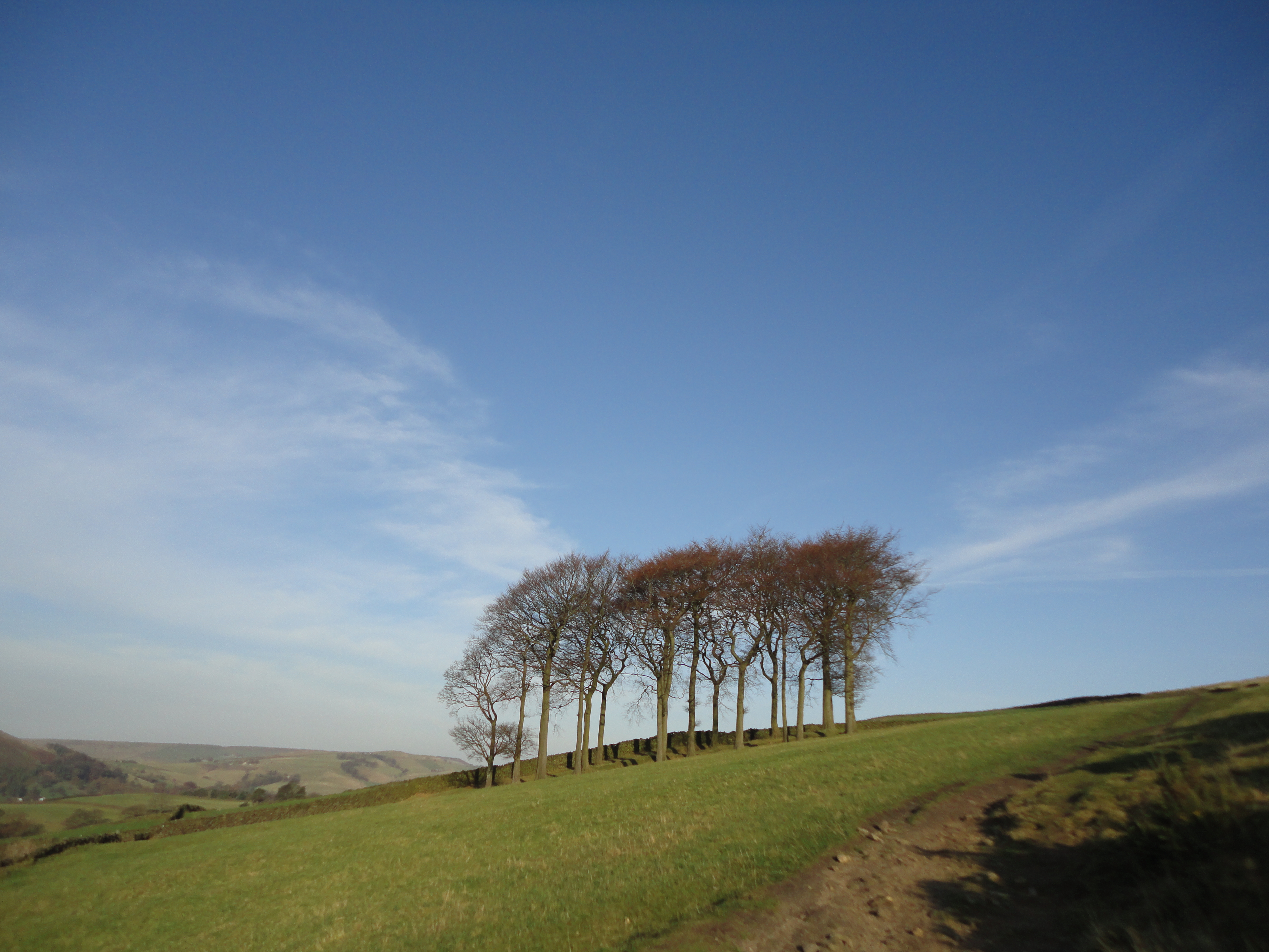
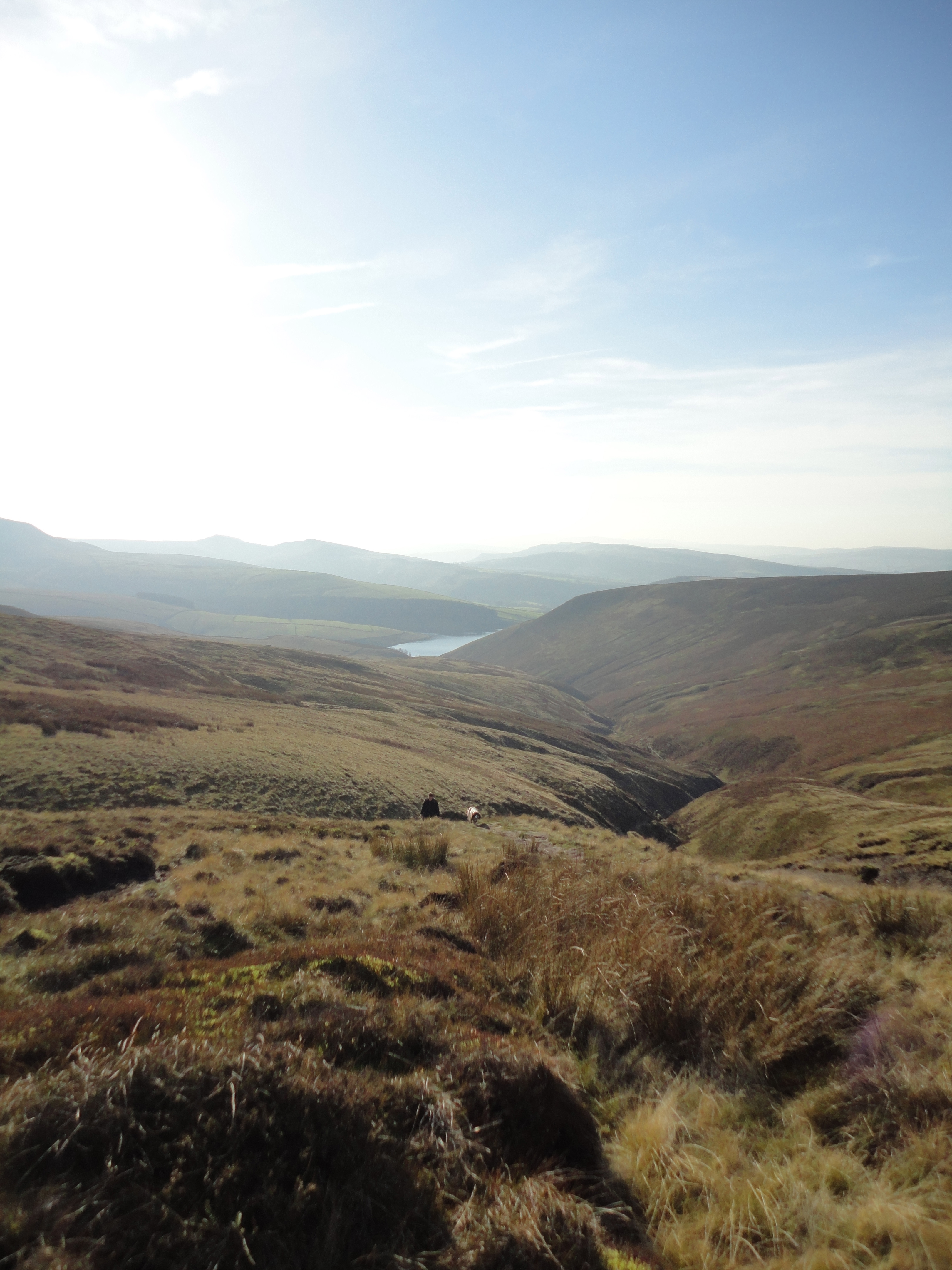
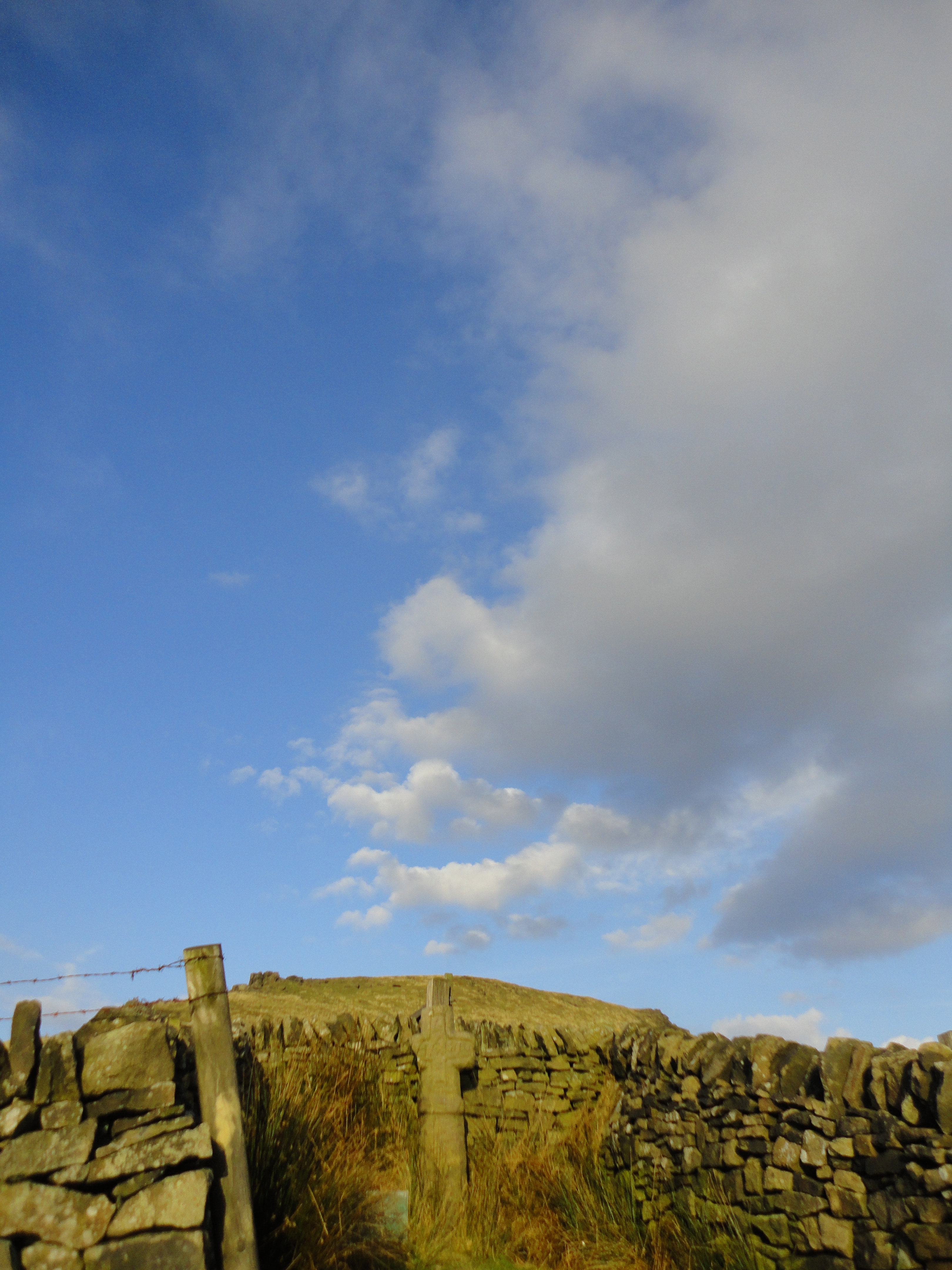
I’m not saying it was the most exquisite morning ever, nor did my wheezing red-faced sweatiness make for the most romantic moment in the world when I reached the trig point, but I defy you to feel gloom and despair when walking with a friendly cocker spaniel and not a soul in sight, just sheep and birdsong and the morning sun on Manchester in the distance, and the mists rolling off Kinder Scout into the valley below.
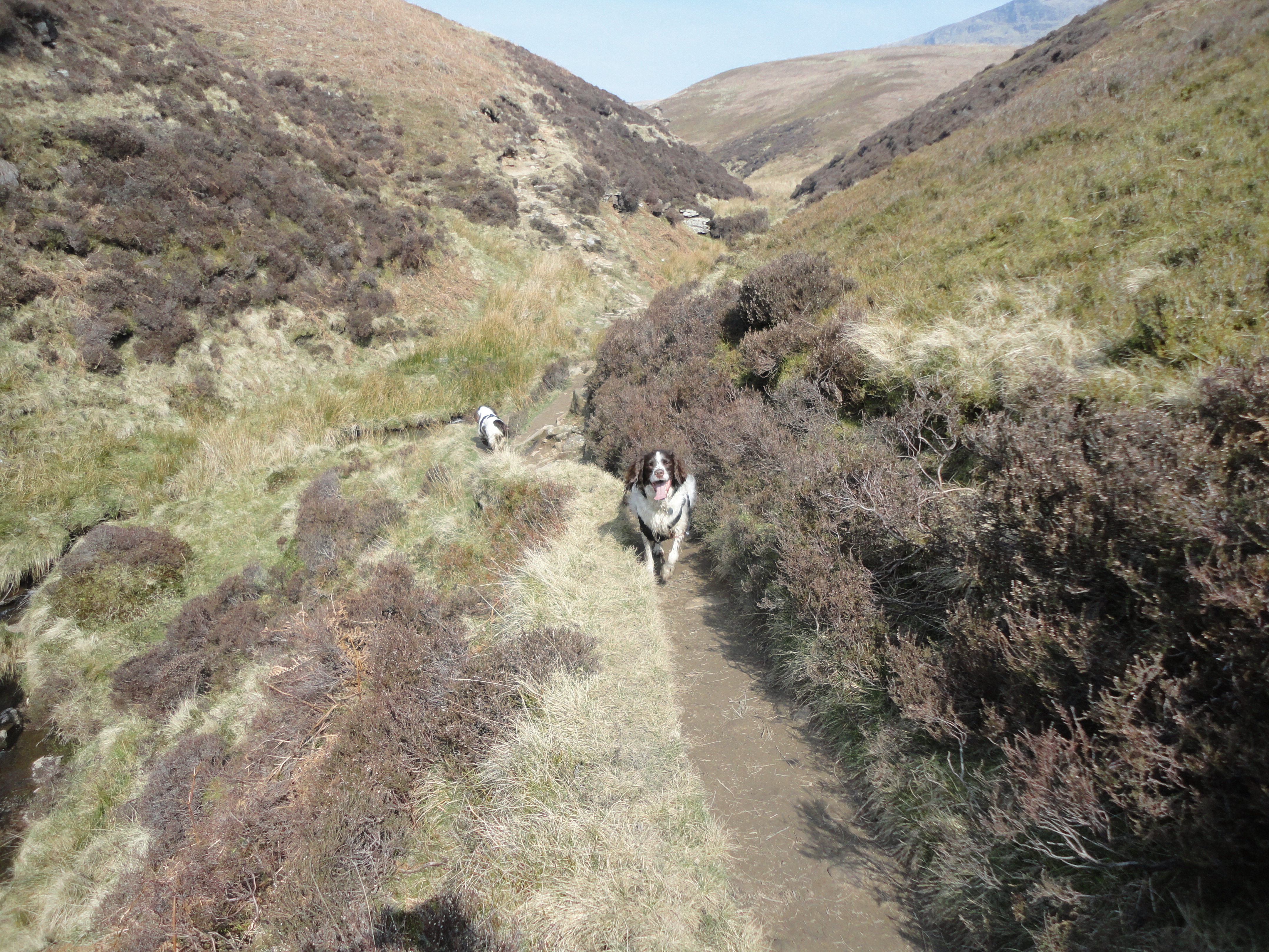
Also, and while Lantern Pike is only a modest 1200 ft or something, carrying a piano up Ben Nevis or a washing machine up Snowdon or whatever has nothing on lugging a reluctant ten stone labrador to the summit when he would normally be lying flat on his back on the sofa at this hour, thus doubling my sense of achievement. That, and the smug satisfaction of knowing I achieved my Apple fitness goals by 7am, has enabled me to partake in the usual excessive weekend consumption of pasta, cheese and cheap red wine without the usual degree of maudlin self-loathing.
Here are some pics:

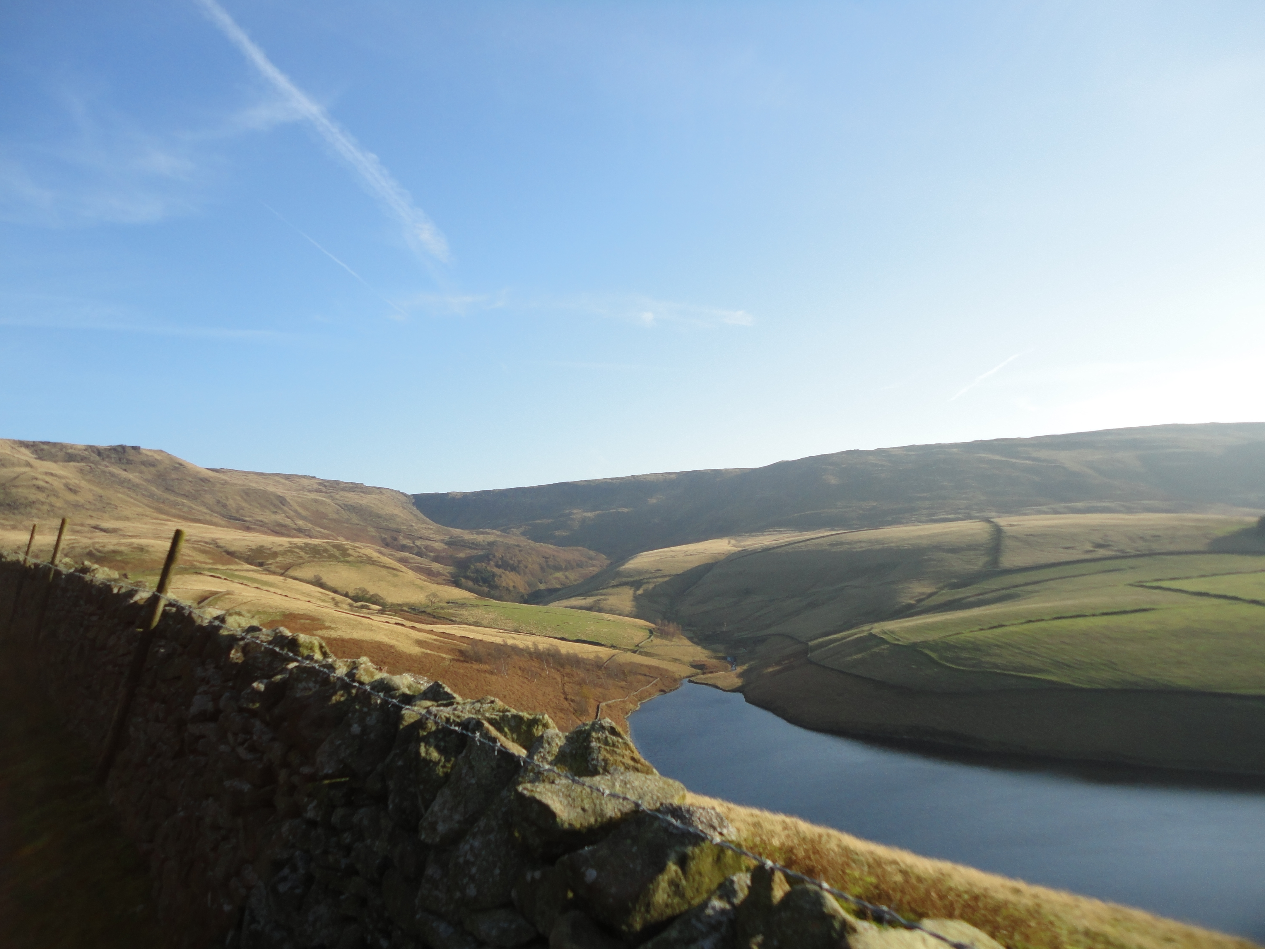
Hayfield and Kinder from Lantern Pike

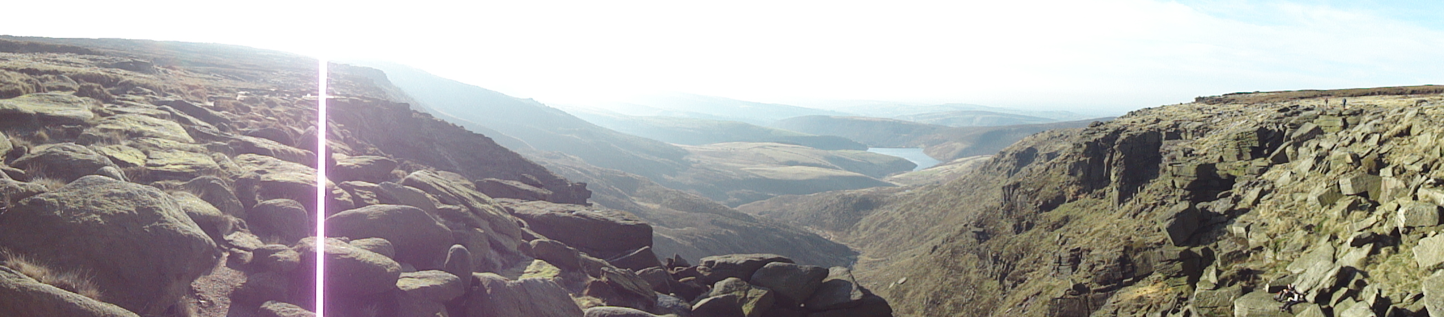
Manchester from Lantern Pike summit

Cocky cocker

Fat Larry

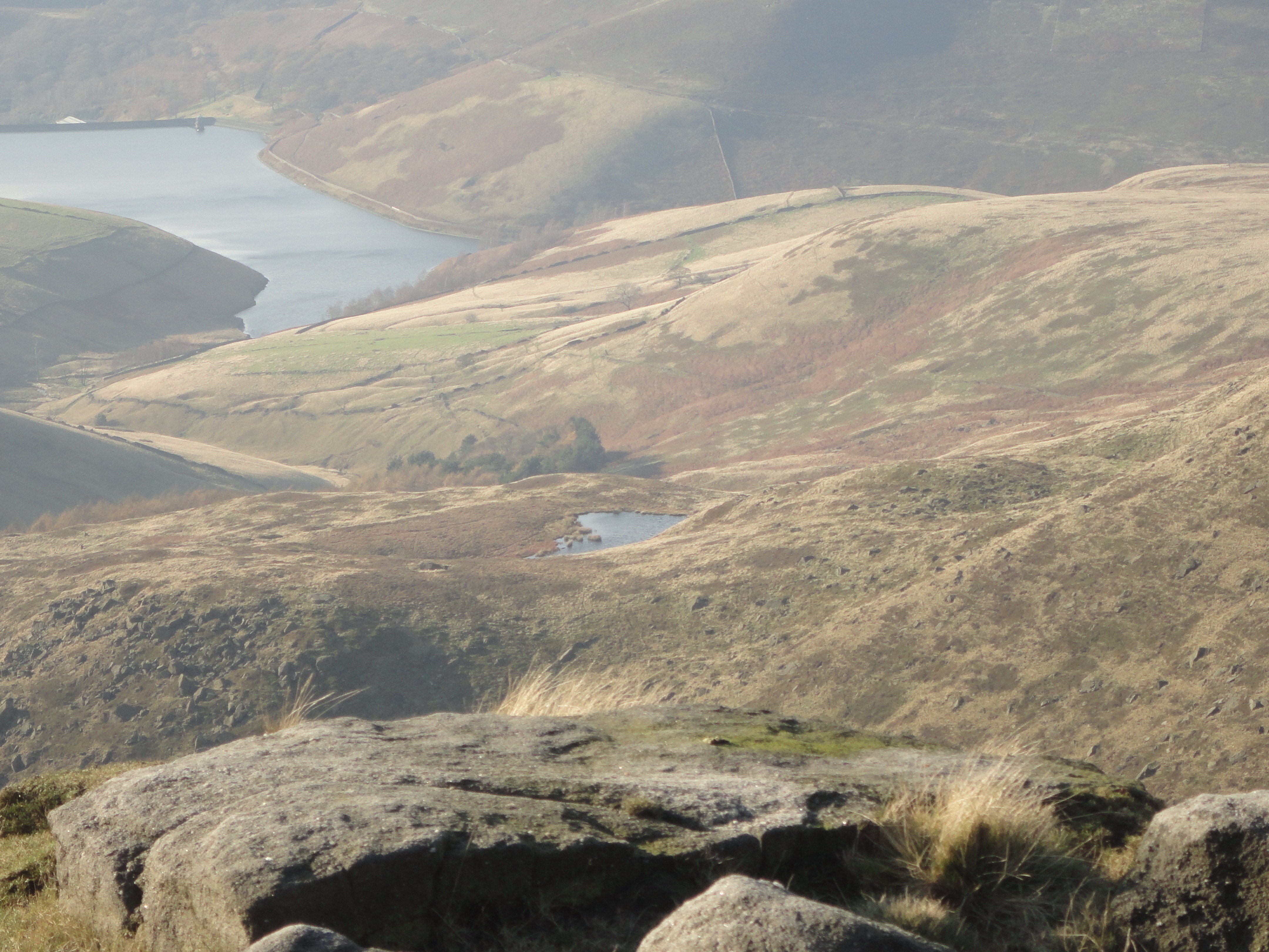
Sett Valley